
Smart Connected Measurement
Unify slope measurement, precise location, spatial dimensions, photos, and field notes into a single, seamless digital workflow.
Rieker Smart Connected Measurement integrates direct-contact inclination sensing, mobile data capture, GNSS positioning, and augmented-reality tools to equip engineering teams directly at the point of work.
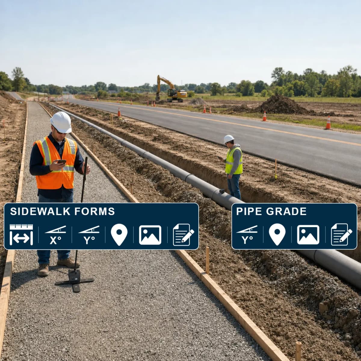
Complete Field Records at Point of Work
Engineering teams require real-time synchronization of slope data, physical dimensions, location tags, and visual proof on site—eliminating manual office transcription, missing context, and data re-entry.
Unified Measurement Capabilities
Consolidate field data streams into a structured, reliable workflow tailored to project standards.
Direct-Contact Measurement
Measure X and Y slope directly at the point of work using a high-precision Rieker inclination sensor.
Connected Mobile Capture
Utilize an integrated mobile application to capture, organize, and submit measurement data instantly.
GNSS Positioning
Associate field records with exact spatial GNSS coordinates for accurate site documentation.
Augmented-Reality Dimensions
Capture linear distances, widths, and spatial heights directly through AR tools.
Photographs & Field Notes
Attach geo-referenced photos and technical observations to form a comprehensive record.
Custom Collection Workflows
Configure automated field workflows tailored directly to project specifications.
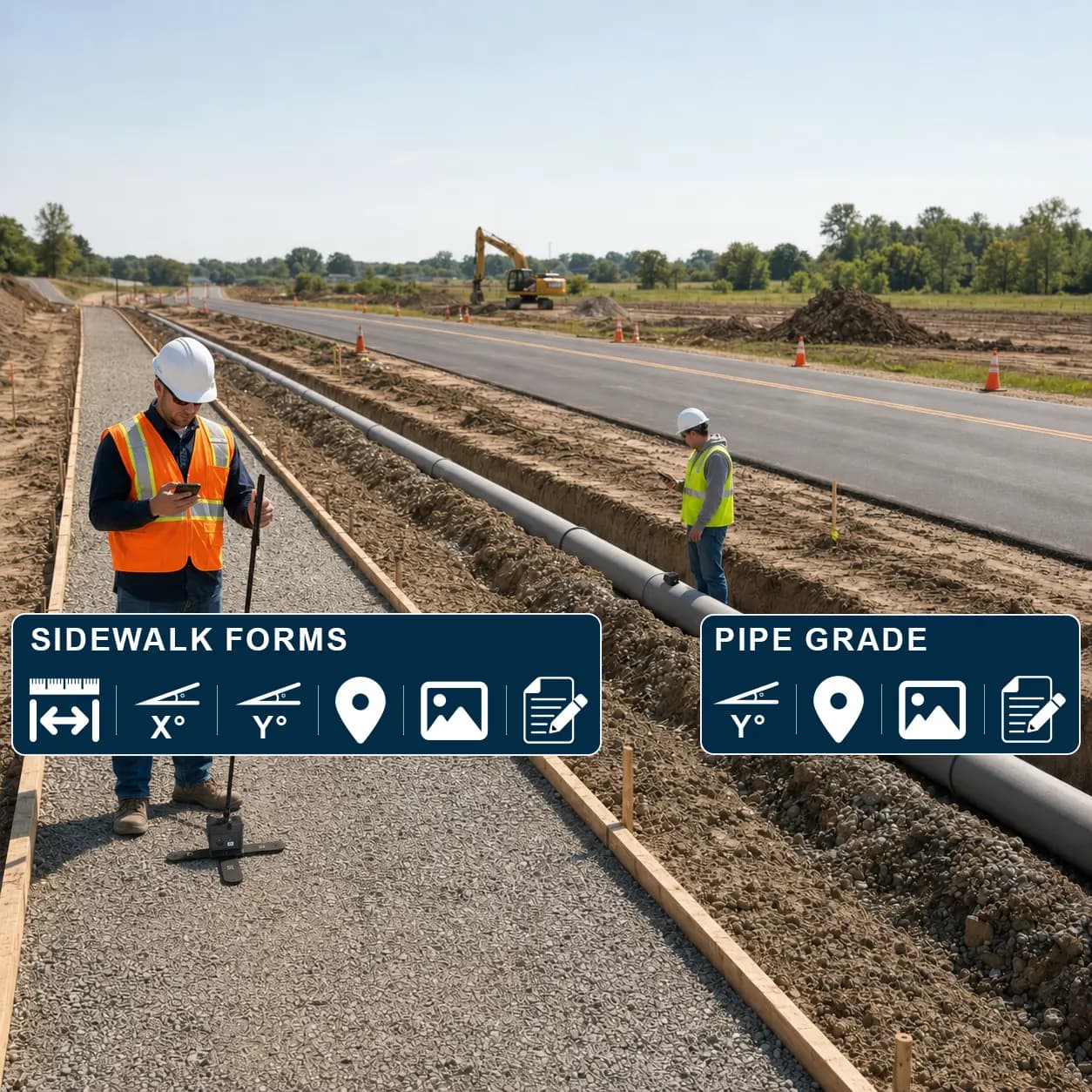
Structured Field Technical Records
Rather than managing disparate photos, notebooks, and independent sensor readings, Smart Connected Measurement coordinates all data assets into standardized export files.
- ✓Capture field coordinates directly at the inspection point
- ✓Link precise slope data with photographic evidence
- ✓Validate data accuracy prior to leaving the field site
- ✓Export verified records according to agency requirements
Engineered for Field Deployment
Designed for infrastructure, civil engineering, and municipal field teams requiring dependable and repeatable measurements.
Sidewalk Form Dimensions & Slopes
Pipe Grade Assessment
Construction-Stage Documentation
Installation Confirmation
Condition & Progress Records
From Task Initiation to Record Delivery
Define Workflow
Select parameters, measurements, and target output formats.
Measure Slope
Capture X and Y slope data using a paired Rieker sensor.
Add Evidence
Attach AR dimensions, high-resolution photo proof, and notes.
Review Feedback
Verify data integrity live in the field before departing.
Export Record
Generate compliant, structured technical logs instantly.
Standardized Data Outputs
Ready to optimize your field measurement process?
Contact our engineering team to discuss hardware compatibility, custom application workflows, and site requirements.
GNSS location services are designed primarily for outdoor operation. Rieker Smart Connected Measurement tools are engineered to support field documentation and are not intended as a direct replacement for primary land survey systems.